When choosing GPS surveying equipment, consider types like static positioning and kinematic surveying for accuracy. These tools enhance precision, streamline workflows, and cut costs in various industries, including land development and environmental monitoring. Key features such as accuracy standards, device compatibility, and battery life are essential for peak performance. As technology evolves, trends like autonomous mapping and improved satellite signals are reshaping the field. There’s much more to uncover about maximizing your surveying efficiency with GPS technology.
Key Takeaways
- GPS surveying equipment includes static positioning for high precision and kinematic surveying for real-time results while allowing movement.
- Accuracy improvement with GPS technology achieves centimeter-level precision, reducing errors compared to traditional surveying methods.
- GPS surveying enhances cost efficiency by streamlining processes, saving time, and minimizing labor costs for various surveying projects.
- Key features to consider when choosing GPS equipment include accuracy standards, device compatibility, battery life, durability, and user-friendly interfaces.
- Future trends in GPS surveying involve autonomous mapping, satellite improvements, productivity enhancements, community collaboration, and maintaining a competitive edge.
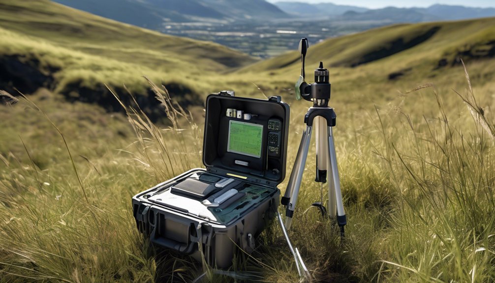
Types of GPS Surveying Equipment
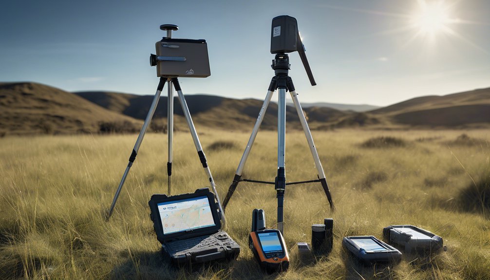
GPS surveying equipment comes in various types, each designed for specific applications and accuracy requirements.
When you look at static positioning, you’ll find that it involves collecting data from a fixed point over an extended period. This technique guarantees high precision, making it ideal for applications like geodetic control.
On the other hand, kinematic surveying allows for more dynamic data collection, where you can move while recording positions. This method provides real-time results and is particularly useful for large-area surveys or when time constraints exist.
Advantages of GPS Technology in Surveying
While traditional surveying methods have their merits, the advantages of GPS technology have revolutionized how professionals approach land measurement and data collection.
One key benefit is accuracy improvement; GPS systems can achieve centimeter-level precision, greatly reducing errors compared to conventional techniques. This heightened accuracy guarantees reliable data, which is vital for project success.
Additionally, GPS technology enhances cost efficiency. By streamlining the surveying process, you can save time and reduce labor costs, allowing for more projects to be completed within budget.
Embracing GPS not only elevates your surveying capabilities but also fosters a sense of belonging within a community that values innovation and technological advancement.
Ultimately, the integration of GPS into your practice positions you at the forefront of the industry.
Applications of GPS Surveying in Various Industries
The integration of GPS technology into surveying practices has opened up a multitude of applications across various industries.
In land development, GPS enables precise site assessments, ensuring accurate mapping and efficient project planning. You can optimize resource allocation and reduce costs, as pinpointing exact locations minimizes errors.
In environmental monitoring, GPS plays an essential role in tracking changes in land use and ecosystems. By collecting accurate geographic data, you help assess environmental impacts and adhere to regulations.
This technology also aids in disaster management, enabling real-time data collection for better response strategies.
Key Features to Consider When Choosing GPS Equipment
When selecting GPS equipment, it’s vital to evaluate several key features that directly impact performance and usability. First, consider the accuracy standards your projects require; higher precision can greatly enhance results. Look for devices that meet or exceed industry benchmarks.
Next, assess device compatibility with existing surveying tools and software. Ensuring seamless integration can save time and reduce errors during data collection. Additionally, battery life and durability are important; you want equipment that can withstand harsh environments while remaining operational for extended periods.
Finally, user-friendly interfaces enhance your experience, making it easier to navigate functions. By focusing on these features, you’ll choose GPS equipment that not only meets your technical needs but also fits seamlessly into your workflow.
Future Trends in GPS Surveying Technology
As the surveying industry evolves, advancements in GPS technology are set to reshape how professionals conduct their work.
You’ll soon witness a surge in autonomous mapping capabilities, allowing for efficient, real-time data collection with minimal human intervention. This shift not only enhances accuracy but also streamlines workflows, enabling you to focus on analysis rather than data gathering.
Additionally, satellite improvements are paving the way for better signal integrity and faster processing times, which means you can expect more reliable results in challenging environments.
Embracing these innovations won’t only enhance your productivity but also foster a sense of community among professionals keen to harness cutting-edge tools.
Staying ahead of these trends will guarantee you remain competitive in an evolving landscape.
Conclusion
In summary, embracing GPS surveying equipment enhances accuracy and efficiency in your projects. Understanding the various types, advantages, and applications of this technology allows you to make informed choices. When selecting equipment, consider key features that align with your specific needs. As advancements in GPS technology continue to unfold, staying updated on future trends will guarantee you maintain a competitive edge in the surveying industry. Invest wisely, and leverage GPS to streamline your surveying processes.